Construction
Explore the transformative impact of Drone LiDAR technology in revolutionizing transportation infrastructure and environmental restoration. This video delves into how high-precision LiDAR mapping is becoming essential in transportation projects, enhancing accuracy in capturing topography and uncovering hidden utilities for better planning and execution.
Featuring real-world applications from industry leaders like David Evans and Associates, and hydrological projects led by Evan Radford, the video highlights the wide-ranging benefits of this technology.
Discover how Drone LiDAR reduces workload, improves safety for field crews through aerial scanning with drones and helicopters, and accelerates data collection. We also discuss the integration of aerial scanning with ground surveying to ensure unparalleled data accuracy and detail, crucial for comprehensive project success.
Additionally, we examine the role of advanced LiDAR software tools, like strip matching, in ensuring data quality and precision. This exploration is designed to equip professionals across industries with insights into the capabilities and advantages of Drone LiDAR technology in transforming transportation planning and environmental efforts.
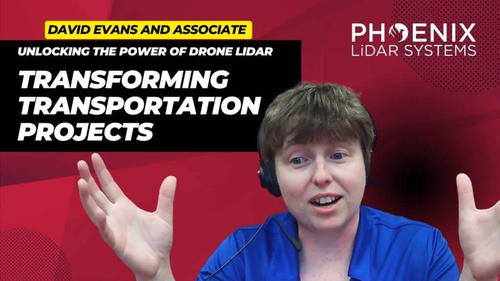
Unlocking the Power of Drone LiDAR: Transforming Transportation Projects. The world of transportation infrastructure is undergoing a profound transformation, and at the heart of this revolution is Drone LiDAR technology. This groundbreaking innovation is fundamentally reshaping the way we approach transportation projects, providing unparalleled precision and accuracy in high-precision mapping. In our comprehensive exploration, we delve into the captivating realm of Drone LiDAR. We start by unraveling the core concepts, introducing you to the technology’s essence, and highlighting why it’s becoming an indispensable tool in various industries.
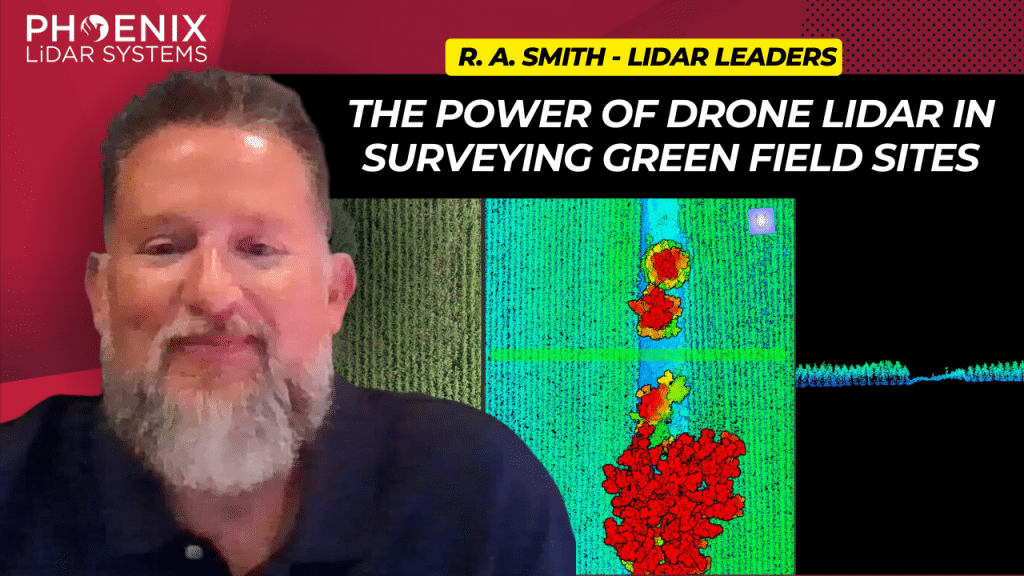
This video delves into the transformative impact of the Phoenix MiniRanger 3 on raSmith’s aerial survey operations, a leading name in civil engineering and surveying based in Brookfield, Wisconsin.
Adopted to enhance the efficiency of surveying expansive greenfield sites, the MiniRanger 3 overcomes challenges posed by dense vegetation like corn, soybeans, and alfalfa, using advanced LiDAR technology.
This state-of-the-art aerial LiDAR system stands out for its high vertical accuracy, robust point density, and reliable GPS integration, making it ideal for detailed and obstructed terrains.
RaSmith’s integration of the Phoenix MiniRanger 3 has not only streamlined their aerial survey workflow but also allowed them to tackle labor shortages, diversify into corridor work, and expand scanning services for public utilities.
Backed by Phoenix’s exceptional technical support, this adoption highlights a significant shift towards more resource-efficient and precise surveying methods. The video underscores the system’s role in pushing the boundaries of civil engineering and surveying, paving the way for future advancements in LiDAR technology.
Discover the comprehensive guide to selecting the right LiDAR system with our detailed LiDAR Selection Guide. This article covers everything from the basics of LiDAR technology to in-depth comparisons of current scanners. Learn about the technical specifications, platform configurations, and software considerations essential for optimizing your LiDAR mapping projects.
Whether you are in forestry, construction, or surveying, our guide provides the insights needed to choose the best LiDAR solution for your needs. Read on to understand the advantages of UAV LiDAR, the components that make up a LiDAR system, and how to achieve high precision and accuracy in your mapping endeavors.
Phoenix LiDAR System offers survey-grade LiDAR systems for a variety of industries and applications.
We’re excited to announce the release of LiDARMill v2! LiDARMill v2 takes automated post-processing to the next level. In our recent webinar, we covered some of the new improvements and features including:
- Imagery Processing in LiDARMill
- Ground Control Reporting and Adjustments
- Robust Coordinate System Handling
- A Workflow Overview and Demonstration
- Multi-Mission Processing Support
- Advanced Point Cloud Filtering Options
- RGB Thermal & Fusion
- Accuracy Reporting
- Automated LiDAR and Camera Calibration Options
- Near-Real Time (NRT) Reference Station Positioning for Projects Requiring Less Than 24 Hour Turn-around Time
- Trajectory Post-Processing Without Reference Stations
If you have any questions or would like to learn more about LiDARMill v2, please don’t hesitate to get in touch. We’d be happy to help!
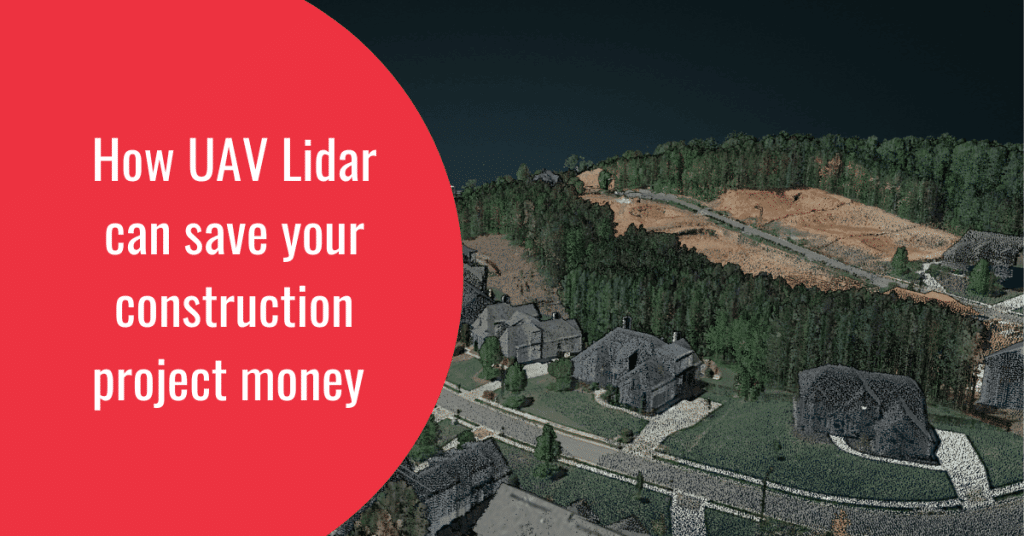
Drone LiDAR has been revolutionizing various industries for years, but its impact on the construction industry is perhaps the most significant. The construction sector, with its intricate and prolonged processes involving multiple phases and tasks, has been a prime candidate for disruption. Early adopters quickly recognized the potential of drones to streamline traditional processes, reduce costs, and enhance efficiency and safety. However, numerous untapped opportunities still exist for construction and engineering firms.
In this article, we will explore how drone LiDAR can be effectively utilized in the design, building, and delivery phases of a construction project.
Using Drone Lidar in Design & Engineering
Capturing land images with drones is merely the beginning of the value they offer to construction firms. By integrating raw sensor data into advanced software such as SpatialExplorer and LidarMill, firms can generate significant value, which can be packaged and monetized through various pricing structures. While these applications are robust, they cannot entirely replace traditional surveying methods. However, by combining drone LiDAR data with standard surveying tools, construction firms can offer clients a broader range of services. These services include the ability to measure cut and fill volumes, create detailed 3D renderings of construction sites, and monitor project progress more effectively.
Drones on the Construction Site
The construction industry has rapidly adopted drones, and with good reason. Drones provide a safer and more cost-effective means to perform surveys, create as-is engineering models, and collect comprehensive data and footage from job sites. Here are some key use cases for drones on construction sites:
- Job Site Documentation: By obtaining the necessary permits and ensuring safe operation processes, UAVs can be flown over job sites to significantly reduce waste. This site documentation can be invaluable for both clients and legal teams, allowing project managers to demonstrate progress or the current state of a project at any point in its lifecycle.
- Cut and Fill: For earthwork, grading, and GPS precision tasks, having an accurate model is critical. Drone LiDAR can map 40 acres in less than 30 minutes, delivering a surface accuracy of 3 to 5 cm within two hours. This level of precision and efficiency can result in substantial savings for large-scale projects.
By leveraging drone LiDAR technology, construction firms can not only enhance their operational efficiency but also provide superior services to their clients, ultimately gaining a competitive edge in the industry.
Conclusion
The integration of drone LiDAR technology into the construction industry holds immense potential. From the design and engineering phases to on-site applications, drones are transforming how construction projects are executed. As the industry continues to evolve, early adopters of drone LiDAR technology will be well-positioned to lead the way, driving innovation and setting new standards for efficiency, safety, and cost-effectiveness.