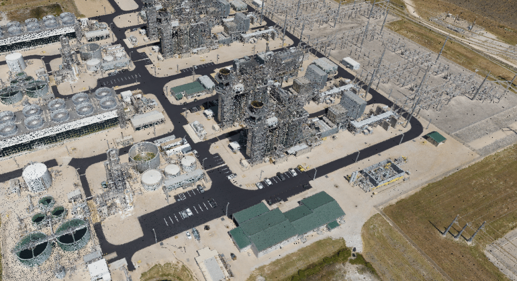
Industry
In this whitepaper, we explore the innovative application of a hovering drone-mounted LiDAR system paired with a survey-grade satellite and inertial positioning system to measure wave transformation and runup in the surf zone. Unlike traditional methods, the multi-rotor small uncrewed aircraft system (sUAS) offers unobstructed measurements by hovering above the surf zone at a 20-meter elevation, scanning a 150-meter-wide cross-shore transect.
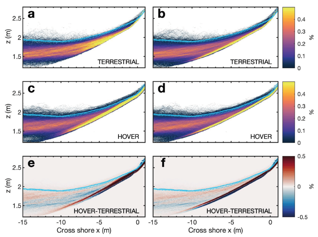
This approach allows rapid and precise data collection in remote locations where terrestrial scanning is challenging. Our study demonstrates that hovering drone-mounted LiDAR provides measurement accuracy almost equivalent to a stationary truck-mounted terrestrial LiDAR. By conducting observations in various surf conditions and validating with traditional land-based surveys and pressure sensors, we achieved a stable back beach topography estimate.
We also calculated statistical wave properties, runup values, and bathymetry inversions using a simple nonlinear correction to wave crest phase speed. This method shows the potential of drone-based LiDAR for accurate nearshore process observations, enabling data collection in previously inaccessible sites and providing valuable validation for coastal models.

Speed: Walking pace for SLAM. 6 m/s UAV flight
Point density: thousands of points/m²
AGL: 80 during UAV flight
Acquisition time: ~2 hours
Speed: 6 m/s
Point Density: 200 points/m² per flight line
AGL: 120 m
Acquisition time: 10 minutes

Speed: 40 – 60 mph
Point density: >2000 points/m²
AGL: Ground level
Acquisition time: 3.5 hrs
Speed: 20-40 mph
Point density: thousands of points/m²
AGL: Ground level
Speed: 50 kn
Point density: ~700 points/m²
AGL: 200 m
Acquisition time: 10 minutes
Speed: 60 kn
Point density: 21 points/m² per flight line
AGL: 750 m
Acquisition time: 1 hour
Point Density: 16,700 points per m^2
Height: ~1.5m AGL
Speed: Walking pace (~3-4 mph)
Data Acquisition Time: 12 minutes