
Resource Type
Industry
Product Group
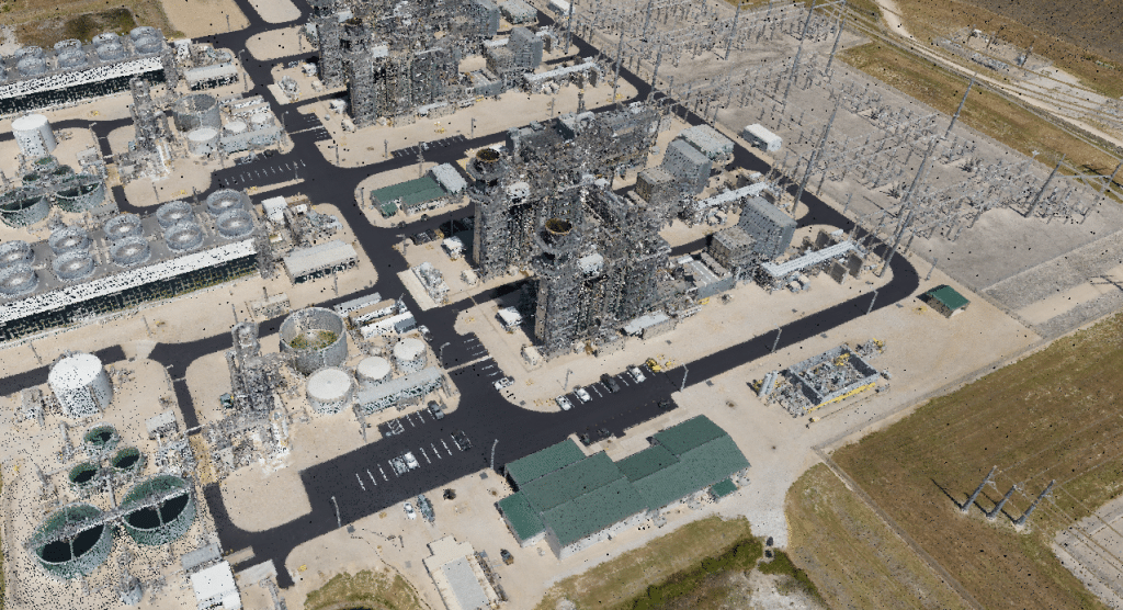
Speed: 50 kn
Point density: ~700 points/m²
AGL: 200 m
Acquisition time: 10 minutes
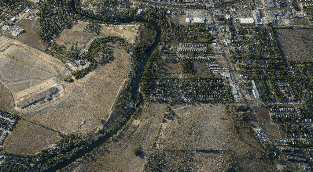
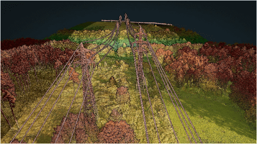
Speed: 60 kn
Point density: 21 points/m² per flight line
AGL: 750 m
Acquisition time: 1 hour
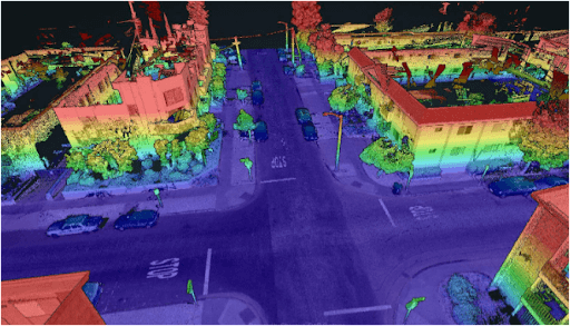
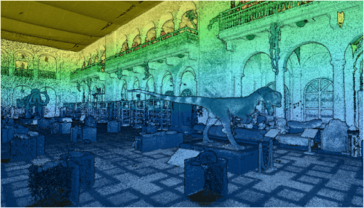
Point Density: 16,700 points per m^2
Height: ~1.5m AGL
Speed: Walking pace (~3-4 mph)
Data Acquisition Time: 12 minutes
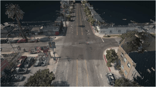
Point Density: 3920 points per m^2
Height: 2 m AGL
Speed: ~20 mph
Data Acquisition Time: 10 minutes
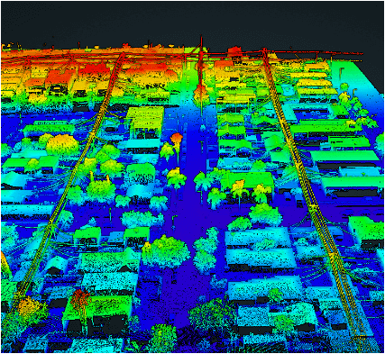
Point Density: 1050 points per m^2
Height: 120 m AGL
Speed: 10 m/s
Data Acquisition Time: 3 minutes
Point Density: 50,000+ points per m^2
Height: ~1.5 m AGL
Speed: Walking pace (~3-4 mph)
Data Acquisition Time: 10 minutes
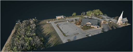
Point Density: 610 points per m^2
Height: 70 m AGL
Speed: 5 m/s
Data Acquisition Time: 26 minutes
Point Density: 1050 points per m^2
Height: 120 m AGL
Speed: 10 m/s
Data Acquisition Time: 3 minutes
Point Density: 115 points per m^2
Height: 330 m AGL (approx.)
Speed: 50 m/s
Data Acquisition Time: 13 minutes