Sample Data
Point Density: 3920 points per m^2
Height: 2 m AGL
Speed: ~20 mph
Data Acquisition Time: 10 minutes
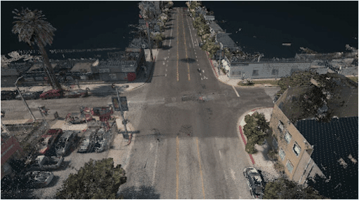
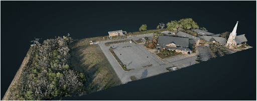
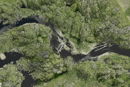
Point Density: 1050 points per m^2
Height: 120 m AGL
Speed: 10 m/s
Data Acquisition Time: 3 minutes
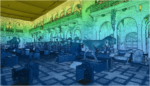
Point Density: 50,000+ points per m^2
Height: ~1.5 m AGL
Speed: Walking pace (~3-4 mph)
Data Acquisition Time: 10 minutes
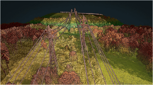
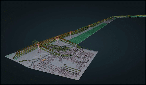
Point Density: 610 points per m^2
Height: 70 m AGL
Speed: 5 m/s
Data Acquisition Time: 26 minutes
Point Density: 1050 points per m^2
Height: 120 m AGL
Speed: 10 m/s
Data Acquisition Time: 3 minutes
Point Density: 115 points per m^2
Height: 330 m AGL (approx.)
Speed: 50 m/s
Data Acquisition Time: 13 minutes
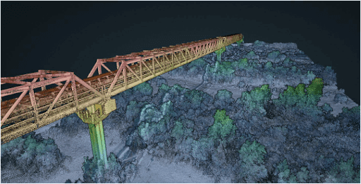
Point Density: 473 points per m^2
Height: 60 m AGL (approx.)
Speed: 6 m/s
Data Acquisition Time: 8 minutes
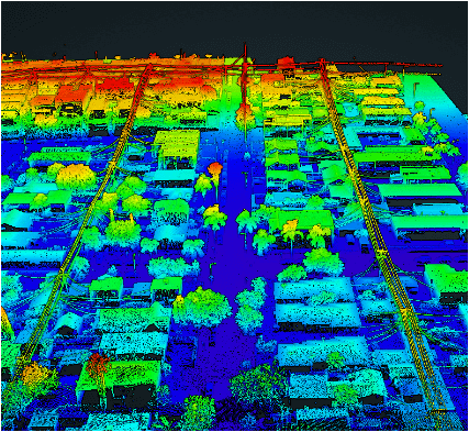
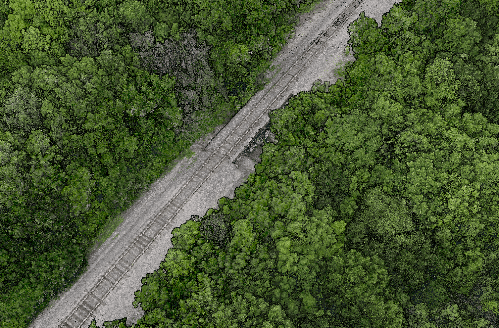
Point Density: 9200 points per m^2
Height: 20 m AGL
Speed: 6 m/s
Data Acquisition Time: 10 minutes
Point Density: 320 points per m^2
Height: 80 m AGL
Speed: 8 m/s
Data Acquisition Time: 7 minutes