2024- Year End Demo Inventory Sale

Entry Level
miniRANGER 2 Lite

The miniRANGER-2 LITE is designed to provide survey-grade LiDAR data and imagery on an ultra-lightweight platform. Packed with options, the miniRANGER-2 LITE leverages Phoenix’s years of experience and industry leading LiDARMill software platform to provide a seamless user experience.
Package Includes: miniRANGER 2 Lite, A6K camera, IMU25, StoneX S900 Base Station, LiDARMill
SALE PRICE:
$75,000
Optional mobile and backpack mounting options along with several imaging sensors provide the flexibility required to address every application. With the photogrammetry package, operators of mid-size multirotors, like the DJI M350, can now simultaneously acquire survey-grade LiDAR data and high resolution photogrammetry at up to 100 m operating flight altitude.
miniRANGER 3 Lite

The MiniRANGER-3 LITE with up to 100,000 measurements per second is designed to provide survey-grade LiDAR data and imagery on an ultra-lightweight platform. Packed with options, the MiniRANGER-3 LITE leverages Phoenix’s years of experience and industry-leading LiDARMill software platform to provide a seamless user experience.
Package Includes: miniRANGER 3 Lite, A6K camera, IMU25, StoneX S900 Base Station, LiDARMill:
SALE PRICE:
$110,000
Optional mobile and backpack mounting options along with several imaging sensors provide the flexibility required to address every application. With the photogrammetry package, operators of mid-size multirotors can now simultaneously acquire survey-grade LiDAR data and high resolution 61 MP RTK photogrammetry at up to 100 m operating flight altitude.
miniRANGER 3 Lite

The MiniRANGER-3 LITE with up to 100,000 measurements per second is designed to provide survey-grade LiDAR data and imagery on an ultra-lightweight platform. Packed with options, the MiniRANGER-3 LITE leverages Phoenix’s years of experience and industry-leading LiDARMill software platform to provide a seamless user experience.
Package Includes: miniRANGER 3 Lite, A6K camera, IMU25, StoneX S900 Base Station, SpacialExplorer Pro (perpetual):
SALE PRICE:
$120,000
Optional mobile and backpack mounting options along with several imaging sensors provide the flexibility required to address every application. With the photogrammetry package, operators of mid-size multirotors can now simultaneously acquire survey-grade LiDAR data and high resolution 61 MP RTK photogrammetry at up to 100 m operating flight altitude.
Mid-Range
RANGER-HA

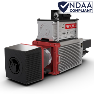
The RANGER-HA is a solution designed for the most demanding ground mapping applications. With 1 Million shots per second and virtually unlimited returns, the RANGER-HA offers sub centimeter level accuracy with incredible point cloud density for both UAV and Mobile Mapping missions.
Package Includes: RANGER-HA, SpacialExplorer Pro (perpetual), NavLab
Contact us for configuration options
- Survey-grade (sub cm-level) accuracy with incredible density and outstanding intensity calibration
- IMU and dual-GPS upgrade options for increased accuracy
- Fully autonomous, can be mounted on any ground vehicle
RANGER-LR22 Lite

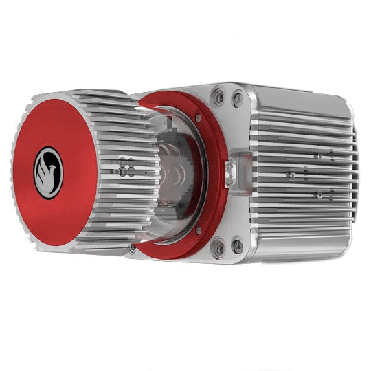
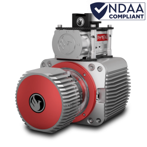
The RANGER-LR22 LITE adds high pulse rate measurement capability to a scanner that excels at measurement accuracy. Ideal for completing UAS and Helicopter missions with the highest degree of data quality, this member of the RANGER lineup is vehicle-flexible and is an excellent choice to suit many roles. High-density UAS missions, detailed mobile mapping projects, and even low-altitude piloted aircraft surveys can all be conducted.
Package Includes: RANGER-LR, IMU 30, A7R4kLIte, SpacialExplorer Pro (perpetual), NavLab
Contact us for configuration options
The RANGER-LR22 is rated for up to 640 m and boasts up to a 1500 kHz PRR.
Crewed Aircraft
HALO 15H

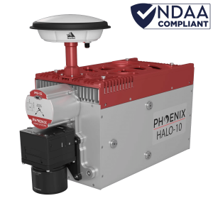
The HALO series LiDAR scanners are made for high-altitude, high-efficiency mapping. City-scale LiDAR projects are easily achievable with swath widths reaching 4,000 m. Selectable measurement rates up to 1 MHz and line speed up to 250 per second can be tuned to meet challenging pulse density specifications.
Package Includes: HALO-15H, Custom Configurations Available